
HIGH ACCURACY
3D MAPPING TECHNOLOGY

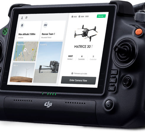
The air above us holds enormous potential, and intelligent drone management creates significant commercial and human advantages.
THE MAPX WAY
Using groundbreaking perception-enabled sensor technology, we are able to map out areas and spaces with a high degree of precision and safety. It’s photogrammetry and mapping reimagined.

THE MAPX DIGITAL PRODUCTS
We use a system which allows each service and product to be as accurate and fundamentally low-error as possible while providing real-time information and high quality deliverables.
FAST TURN AROUND
With our expert technology and vast knowledge, we find the best solutions to provide quick lead times for your data deliverables.
INDUSTRIES WE SERVICE
-Architecture
-Real Estate
-Urban Development
-Construction
-Farming
-Film & Photography
- Law Enforcement
Use drone resources to access remote locations for assessments, inspections, and ongoing maintenance.
Reduce Cost
Gather data on your assets while eliminating expensive hourly rates on traditional methods and resources.
Improve Data
The precision of drone data improves accuracy and quality while reducing inspection risk, time, and cost. Let’s connect!
Tailored Services
Contact our expert team to learn how we can tailor our service to your project.